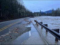
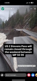
After the fact USGS measures the elevations of the high water marks left behind. From that they can make pretty good estimates of water volume and velocities. That gives the elevation above the gauge elevation. With velocity estimates a CFS (cubic feet per second) estimate can be made.What happens when flood guages get overcome and submerged? Like how do you measure that?