Anyone have an App they like that measures distance say along shorelines, river banks etc.
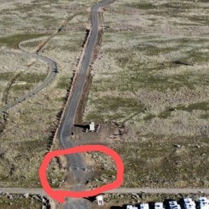
Google Earth has a measuring option, but it pretty much add a point then a straight line to the next point unless I'm using it incorrectly.
I'd like something I can use on a mobile device that allows you to draw a line and measure around natures natural curves rather then adding a bunch of points with straight lines to get an approximate distance.
Thanks for any suggestions.
SF