You have every right to your opinion, and government has indeed done plenty to destroy trust. But I think this discussion continues to be civil and thoughtful.While it may be true, the loudest are rarely the most informed...
But alas-
- your 25th booster shot is ready (for kids also, crazy)
- every war fought from Vietnam on was based on lies and purely for profit.
- that Fisa bill just got more life. Constitution is worthless now.
-do they even hide insider trading?
-I can add maybe around 8345 more things
So while those are loud are generally dumb (me included? Maybe)
Until the government gives even an inkling as to why to be trusted....
well they shouldn't be...
Sorry for probably getting this thread closed pretty quick.

Navigation
Install the app
How to install the app on iOS
Follow along with the video below to see how to install our site as a web app on your home screen.
Note: This feature may not be available in some browsers.
More options
Style variation
You are using an out of date browser. It may not display this or other websites correctly.
You should upgrade or use an alternative browser.
You should upgrade or use an alternative browser.
Dept. of Ecology declares drought emergency for most of Washington state
- Thread starter RCF
- Start date

Flymph
Life of the Party
"seize" matters!While I don't know about this situation specifically I agree with you in principle. Emergencies are not an occasion to either surrender rights and freedoms to government nor for government agencies to size more control.
A bit late to hope for late season snow but fingers crossed anyway.

'I see that this discussion of drought in WA is degenerating into culture war flaming. Here, let toss in a few random unrelated culture war talking points to feed the flames.'While it may be true, the loudest are rarely the most informed...
But alas-
- your 25th booster shot is ready (for kids also, crazy)
- every war fought from Vietnam on was based on lies and purely for profit.
- that Fisa bill just got more life. Constitution is worthless now.
-do they even hide insider trading?
-I can add maybe around 8345 more things
So while those are loud are generally dumb (me included? Maybe)
Until the government gives even an inkling as to why to be trusted....
well they shouldn't be...
Sorry for probably getting this thread closed pretty quick.
Sheesh.

While trust has to be earned, don't leave your common sense at the door.Until the government gives even an inkling as to why to be trusted....
well they shouldn't be...
Trust, but verify.
Probably gonna take a minute to verify all of that...I can add maybe around 8345 more things


FinLuver
Native Oregonian…1846
Damn smarter than iPhones…foiled again."seize" matters!


I think Cliff Mass had Covid...Cliff Mass should be in the same category as Covid on this board. IMHO it should be forbidden...


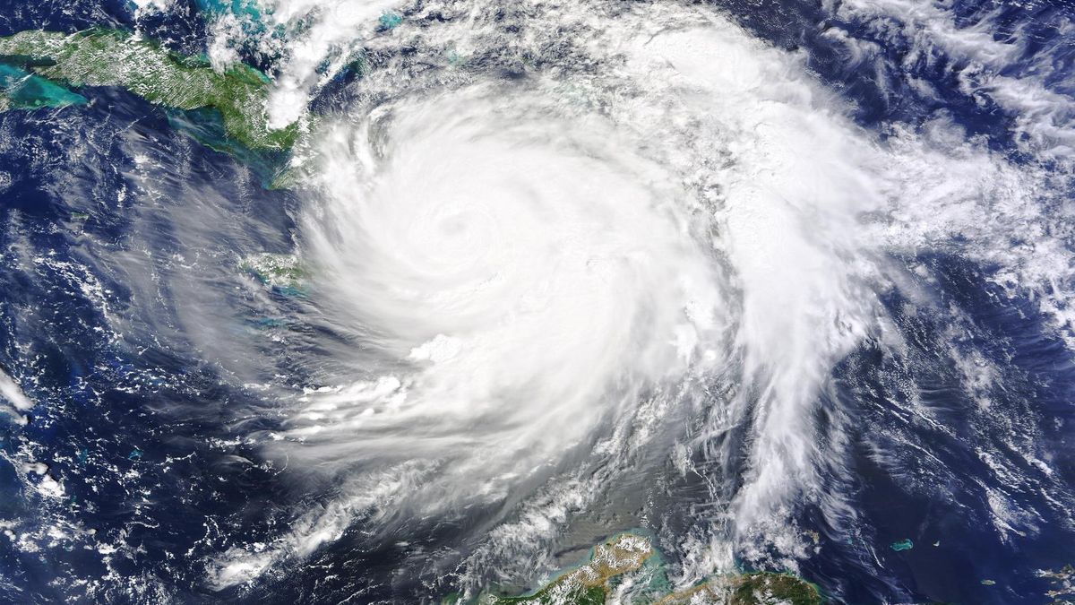
'Uncharted territory': El Niño to flip to La Niña in what could be the hottest year on record
A quick flip from El Niño to La Niña is coming soon, but what does that mean for the U.S.?

No, his blog points should not be banned from discussion, and he of course has a perspective and a background. His thoughts on water supply are quite valuable especially to western WA and should be open to discussion.Cliff Mass should be in the same category as Covid on this board. IMHO it should be forbidden...
Banned? No. Immune from criticism? No.

His thoughts on water supply are quite valuable especially to western WA and should be open to discussion.
I’m not so sure his thoughts on water supply in the subject post are too valuable, though. The rivers he cited as having flows predicted to sustain through this Fall are not Westside Rivers. Only a few Westside rivers have managed reservoirs, and most of those are used to impound and export drinking water—not support flows for diversion and irrigation. And there are is a lot more irrigated Ag, a lot more interruptible water right holders, and a lot more over-appropriated basins with dwindling snowpacks over here than you might realize.

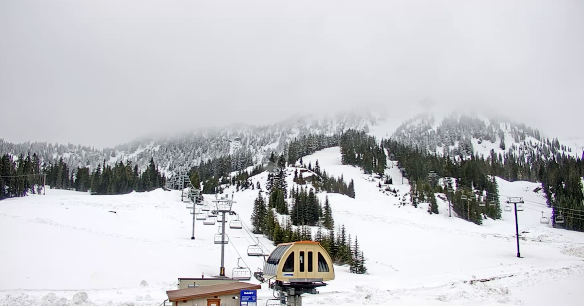
Cliff Mass is at it again! Taunting us about cool spring weather and mountain snow in late April and early May.
 cliffmass.blogspot.com
This guy needs to be put in drought re-education camp
Substantial Late-Season Mountain Snow Ahead
This blog provides updated forecasts and comments on current weather or other topics
cliffmass.blogspot.com
This guy needs to be put in drought re-education camp


Dustin Chromers
Legend
Cliff Mass is at it again! Taunting us about cool spring weather and mountain snow in late April and early May.
Substantial Late-Season Mountain Snow Ahead
This blog provides updated forecasts and comments on current weather or other topics
This guy needs to be put in drought re-education camp
Choose your climate Messiah.. But choose wisely. For the future of mankind depends on it and your eternal soul.

I think Mass is right that this late season snow is not that out of the ordinary. A more significant aspect of this snow is how much does it add to the seasonal accumulation total? It is that annual total that water managers have to estimate in order to decide how much water is available for reservoir refill for M&I water supply, irrigation, and hydropower. I seem to remember when dealing with Seattle City Light that for planning purposes they didn't count on any significant accumulation after March 31. Not because it doesn't snow after that date, but because the amount of snow after that date just doesn't add much in the way of acre-feet of runoff for reservoir refill. And reservoir refill is just about the most important thing in the world of water resource managers.
Well, the snow is pretty much gone in the Cascades, drought and abnormally dry conditions cover most of the state, and a whole lot of rivers are running much much lower than the median recorded flows for this time of year. It's almost like it's an actual drought in Washington. I hope we get more relatively cool and cloudy weather through August and September.Lies, damned lies, and statistics.
Fish, wildlife and people *will* be impacted by the snowpack deficit, if not already.
Where is Cliff's analysis of soil moisture and aquifer levels? How about streamflows, which are also low low low? https://waterdata.usgs.gov/wa/nwis/rt
edit: heck, even cliff's US precipitation map is based on modeled data, and from 1961 to 1990! All the old-timers around here keep saying how things have changed since then. Climate is often evaluated in 30-year cycles. Cliff is showing data from over 30 years ago! And statements about that outdated data like "We live in one of the wettest locations in the U.S. (see map). A region that possesses a very modest population considering the carrying capacity of the land and one that generally receives much more precipitation than we need or can use, with the surplus water surging out into the Pacific." lack a whole lot of nuance. All that alleged "surplus" water is absolutely doing work in the environment--the critters that live here evolved along with that hydrologic cycle.
Or how about this load from Cliff? "What about predicted forecast river levels at the end of summer (mid-September)? Around 80-90% for the Columbia and around 65-80% for the Yakima. Much higher for rivers in Oregon. Nothing serious." LOL great examples, Cliff. You picked the two most heavily managed and dammed rivers in the state. Let's see how the Stilly or nearly any other west side river is doing in mid-September 2024--I guaran-damn-tee you, none of us here will say it's "nothing serious" at that time. Lies, damned lies, and statistics.
| U.S. Drought Monitor
 droughtmonitor.unl.edu
Washington water conditions
Explore USGS monitoring locations within Washington that collect continuously sampled water data
 waterdata.usgs.gov

I had suspected back in December from Snow-Water Equivalent (SWE) accumulations at that time in the '2024 Fishing Aspirations' threadWell, the snow is pretty much gone in the Cascades, drought and abnormally dry conditions cover most of the state, and a whole lot of rivers are running much much lower than the median recorded flows for this time of year. It's almost like it's an actual drought in Washington. I hope we get more relatively cool and cloudy weather through August and September.
| U.S. Drought Monitor
Washington water conditions
Explore USGS monitoring locations within Washington that collect continuously sampled water data
https://pnwflyfishing.com/forum/index.php?threads/2024-fishing-aspirations.6807/post-159001
that August would probably have low water conditions. Oh, and I am pleased to report that I have had some real good fishing in 2024!
Yesterday I spent some time in the Current Conditions for Washington_ Streamflow - USGS and National Water Prediction Service - NOAA (includes six day look-ahead for planning) websites for the rivers I have researched and fish often to check conditions and update my Favorites links after both websites' formats changed so the data I want to see is displayed with only one click. That includes full page, median, and previous year.
Sure 'nuff my fishing log records show the CFS for every stream I looked at yesterday except one tailwater is "too low", meaning fish were very spooky, holed up in the deepest (shallow) pools they can find and not very willing to take my flies on previous trips (probably all in August).
But rather surprisingly based on the December SWE, virtually (actually, I think every?) stream I looked at was very close to the median CFS and at a higher CFS than the same week in 2023.