

A landscape architect pointed this map out to me today. Thought it was worth sharing.
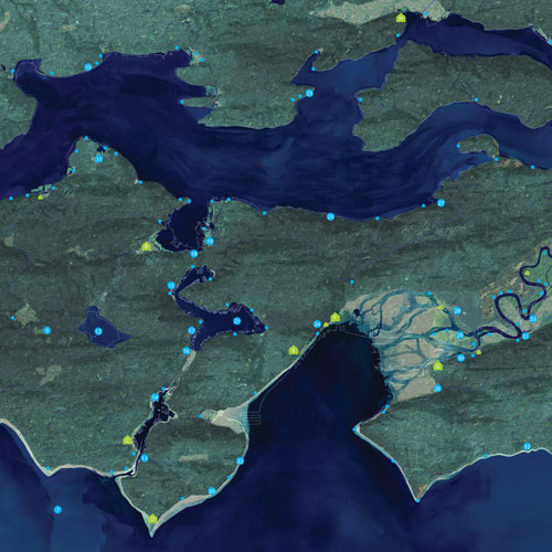
Kind of cool to see what the watersheds looked like back in the mid 1800's, prior to being altered. And locations of some of the indigenous sites (and their names). The Duamish delta was pretty impressive!
Here's a link to the whole website:
 www.burkemuseum.org
Kind of cool to see what the watersheds looked like back in the mid 1800's, prior to being altered. And locations of some of the indigenous sites (and their names). The Duamish delta was pretty impressive!
Here's a link to the whole website:
The Waterlines Project
Explore the dramatic changes to Seattle's landscapes and shorelines through The Waterlines Project.