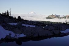
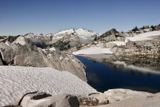
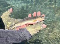
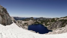
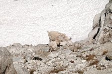
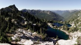
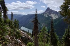
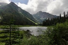
Far enough in the past that I can’t remember the exact time or place, I looked from a distance up the spine of this ridge and thought “That would make a great traverse; I’ve got to do it sometime.” It’s been on my to-do list ever since, and lately, every year I wonder if I’m going to still be up to it. I’ve spent hours looking at maps and imagery; planning route options. We avoid following a GPX track. My wife and I are stubbornly Old Skool; give us a USGS 15 minute quad and an altimeter, and let us figure it out ourselves. Crazy, no?
We figured the ideal time for this trip is mid-late July when there will still be enough snow to find water sources between the lakes. With much of my schedule lately being committed to music and starting a garage renovation, I haven’t been hiking that much, and my fitness could be better. My spouse’s was even less certain, but we had a block of time last week, the weather looked OK, and we decided to go for it.
We’d done the first leg of this trip a few years back so had some idea of what to expect. https://pnwflyfishing.com/forum/threads/attempted-lake-traverse.5644/#post-127619 Doing the entire route in one push would have been even cooler, but the time and energy budget wasn’t quite up to it.
Monday evening we drove to the end of the FS road, stashed my MTB in the woods, drove back to our starting trailhead, and camped there for the night. I’m the family’s only early riser, and I knew this was the only way we’d start in time avoid the first day’s 2800’ ascent in afternoon heat. We topped out at Irishman Go Easy pass around noon and set up camp on a knoll a few hundred feet above the first lake.
I’m guessing the Irishman was a miner as there are several adits ringing the lake basin. If there was ever a tougher group of individuals than the old Cascade prospectors and miners, I don’t know who they’d be.
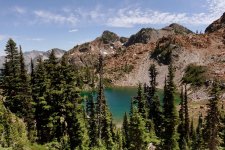
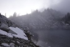
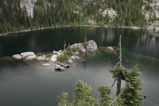
I’ve now fished this lake 4-5 times and caught exactly one fish there, years ago; but it was about the fattest trout I’ve ever seen. I prowled the shoreline for maybe 2 hours in afternoon and saw zero sign of pescids. The mosquitos were fierce and most annoying. One of life’s unfortunate coincidences is the fact that they and the wildflowers peak right around the same late snowmelt part of the season. This was to be a theme of our trip.
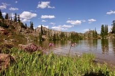
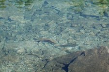
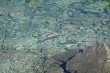
I went back down after dinner and there were pods of fish cruising the shoreline and eating off the surface. I never figured out what they wanted and finally gave in to approaching dark and biting insects.
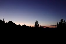
We had work to do tomorrow; start off trail to cross boulders to ascend an easy heather ramp...
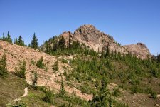
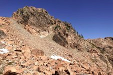
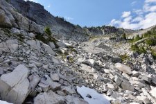
...and down a steep, third class gulley to a snowfield and more boulders.
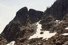
Some easier hiking leads toward the pointy feature on the left skyline.
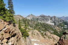
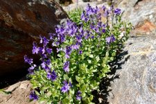
The route has some neat geology; first passing through reddish ultramafic Dunnite. The stuff is delightfully grippy underfoot and hosts some distinctive plants including prolific blooms of this delightful columbiana and others.
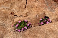
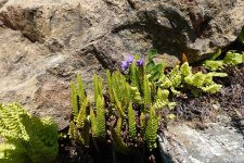
There’s then a sharp transition to granitic rock for the second half of our route.
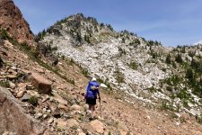
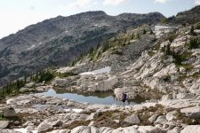
Meanwhile, my hiking partner is not feeling great; she’s banged her shin and knee up in the boulders and is having GI issues. It’s hot and buggy, and I sense we’re not going to make that next set of potholes today. Dang; that’s where the Goldens are supposed to be! Just over this saddle there are granite benches, a perfect gravel tent pad, snowmelt runoff streams, and a pocket of shade. It’s an easy call to stop here for the night. We set the tent body in the shade patch to get away from the heat and persistent bugs and proceed to nap.
Time passes, and we wake to this.
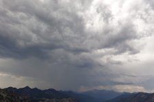
Hurriedly, we move the tent over to our gravel pad and duck in just as the rain hits. There’s now not much to do now but relax in our small nylon abode. We knew there was a chance of storms today, but the following days should be fine.
Distant thunder rumbles, then a sudden simultaneous flash and tremendous CRACK snaps us upright. We’re about 800’ away from and 300’ below a point on the ridge which probably took a direct lightening strike. We now get to ride out one of the most impressive thunderstorms in memory. Fortunately, our tent site has excellent drainage, and if that first strike didn’t get us, we should be fine. Right? Gradually the storm rolled north and away from us and the rain subsided with clear skies following.
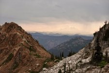
As hoped, the next day arrived with cooler temperatures and less threatening clouds. Before moving on, we took an hour’s detour to scramble the granite pinnacle/lightening rod above camp. It turned out to be pretty simple but for the last airy mantle move onto the summit block. The views all around were marvelous.
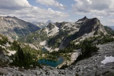
Where we were
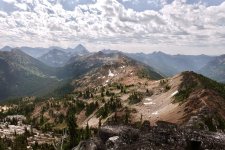
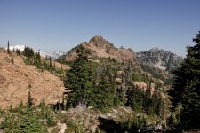
and where we’re going.
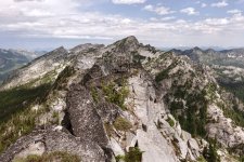
We saw a smoke plume to the south, probably near one of the I-90 finger lakes, and hoped it didn’t spread. Checking back now, I see nothing on iciweb.wildfire.gov, which is great news.
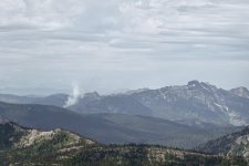
The next obstacle is a bulky tower, a gendarme in climber lingo, blocking the ridge. On the map it looked like it might be feasible to squeak by on its east flank but there is a lot that can hide in 40’ contour lines. Down easy heather ramps we went to a thickly treed choke point where we looked for a passage. I think the goats get through here, but it was just too loose, sketchy, and exposed to tempt us.
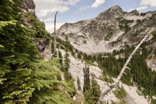
We hadn’t sacrificed much elevation, so backtracked a bit and slogged up a steep heather slope, snowfield and final steeper loose dirt face to the col above. A bit of poking around confirmed that we could descend from here w/o difficulty- which was not at all guaranteed. We’d have to lose 400’+ and traverse to a ridge above our intended destination, the potholes of golden promise.
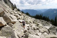
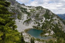
By the time we get around the gendarme we’re hot and tired, and its clearly going to be so much work to get down to the lakes and back out tomorrow. I’m developing a pessimistic attitude, my wife’s GI problem isn’t getting any better, and since she’s hardly eating, her energy level is no better than my mood. Oh, and the bugs in that basin are going to be out for blood, with no breeze for relief. We decide it’s best to call this a miss. That lake sure looks sweet, and I have strong doubts I’ll ever be here again, but... we gave it a good try. As my old climbing partner Tom Tom would have said, “Sometimes you get the goods, and sometimes the goods get you.”
TBC
We figured the ideal time for this trip is mid-late July when there will still be enough snow to find water sources between the lakes. With much of my schedule lately being committed to music and starting a garage renovation, I haven’t been hiking that much, and my fitness could be better. My spouse’s was even less certain, but we had a block of time last week, the weather looked OK, and we decided to go for it.
We’d done the first leg of this trip a few years back so had some idea of what to expect. https://pnwflyfishing.com/forum/threads/attempted-lake-traverse.5644/#post-127619 Doing the entire route in one push would have been even cooler, but the time and energy budget wasn’t quite up to it.
Monday evening we drove to the end of the FS road, stashed my MTB in the woods, drove back to our starting trailhead, and camped there for the night. I’m the family’s only early riser, and I knew this was the only way we’d start in time avoid the first day’s 2800’ ascent in afternoon heat. We topped out at Irishman Go Easy pass around noon and set up camp on a knoll a few hundred feet above the first lake.
I’m guessing the Irishman was a miner as there are several adits ringing the lake basin. If there was ever a tougher group of individuals than the old Cascade prospectors and miners, I don’t know who they’d be.
I’ve now fished this lake 4-5 times and caught exactly one fish there, years ago; but it was about the fattest trout I’ve ever seen. I prowled the shoreline for maybe 2 hours in afternoon and saw zero sign of pescids. The mosquitos were fierce and most annoying. One of life’s unfortunate coincidences is the fact that they and the wildflowers peak right around the same late snowmelt part of the season. This was to be a theme of our trip.
I went back down after dinner and there were pods of fish cruising the shoreline and eating off the surface. I never figured out what they wanted and finally gave in to approaching dark and biting insects.
We had work to do tomorrow; start off trail to cross boulders to ascend an easy heather ramp...
...and down a steep, third class gulley to a snowfield and more boulders.
Some easier hiking leads toward the pointy feature on the left skyline.
The route has some neat geology; first passing through reddish ultramafic Dunnite. The stuff is delightfully grippy underfoot and hosts some distinctive plants including prolific blooms of this delightful columbiana and others.
There’s then a sharp transition to granitic rock for the second half of our route.
Meanwhile, my hiking partner is not feeling great; she’s banged her shin and knee up in the boulders and is having GI issues. It’s hot and buggy, and I sense we’re not going to make that next set of potholes today. Dang; that’s where the Goldens are supposed to be! Just over this saddle there are granite benches, a perfect gravel tent pad, snowmelt runoff streams, and a pocket of shade. It’s an easy call to stop here for the night. We set the tent body in the shade patch to get away from the heat and persistent bugs and proceed to nap.
Time passes, and we wake to this.
Hurriedly, we move the tent over to our gravel pad and duck in just as the rain hits. There’s now not much to do now but relax in our small nylon abode. We knew there was a chance of storms today, but the following days should be fine.
Distant thunder rumbles, then a sudden simultaneous flash and tremendous CRACK snaps us upright. We’re about 800’ away from and 300’ below a point on the ridge which probably took a direct lightening strike. We now get to ride out one of the most impressive thunderstorms in memory. Fortunately, our tent site has excellent drainage, and if that first strike didn’t get us, we should be fine. Right? Gradually the storm rolled north and away from us and the rain subsided with clear skies following.
As hoped, the next day arrived with cooler temperatures and less threatening clouds. Before moving on, we took an hour’s detour to scramble the granite pinnacle/lightening rod above camp. It turned out to be pretty simple but for the last airy mantle move onto the summit block. The views all around were marvelous.
Where we were
and where we’re going.
We saw a smoke plume to the south, probably near one of the I-90 finger lakes, and hoped it didn’t spread. Checking back now, I see nothing on iciweb.wildfire.gov, which is great news.
The next obstacle is a bulky tower, a gendarme in climber lingo, blocking the ridge. On the map it looked like it might be feasible to squeak by on its east flank but there is a lot that can hide in 40’ contour lines. Down easy heather ramps we went to a thickly treed choke point where we looked for a passage. I think the goats get through here, but it was just too loose, sketchy, and exposed to tempt us.
We hadn’t sacrificed much elevation, so backtracked a bit and slogged up a steep heather slope, snowfield and final steeper loose dirt face to the col above. A bit of poking around confirmed that we could descend from here w/o difficulty- which was not at all guaranteed. We’d have to lose 400’+ and traverse to a ridge above our intended destination, the potholes of golden promise.
By the time we get around the gendarme we’re hot and tired, and its clearly going to be so much work to get down to the lakes and back out tomorrow. I’m developing a pessimistic attitude, my wife’s GI problem isn’t getting any better, and since she’s hardly eating, her energy level is no better than my mood. Oh, and the bugs in that basin are going to be out for blood, with no breeze for relief. We decide it’s best to call this a miss. That lake sure looks sweet, and I have strong doubts I’ll ever be here again, but... we gave it a good try. As my old climbing partner Tom Tom would have said, “Sometimes you get the goods, and sometimes the goods get you.”
TBC
Attachments
Last edited: