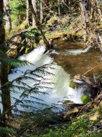
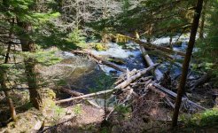
Well, no fishing this time. Next year I'll be ready.
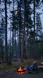
Just back from 3-nights of off-grid glamping near Mt Adams. We're definitely going back, but next time a month or so later as most of the areas above 2500' were snowed-in and/or closed. This was the first time to the area for both of us and we weren't disappointed.
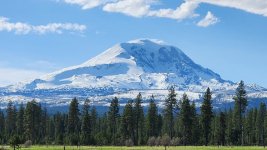
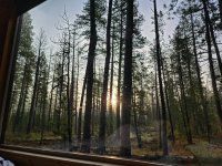
The trip started with a drive up the CR Gorge. I was the passenger the whole trip, since I apparently enjoy driving my wife's Mazda 6 a little too much for her motion sickness. Just as well since that gave me the chance to enjoy the scenery and take pics. Got a couple decent car window shots before our first stop...
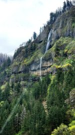
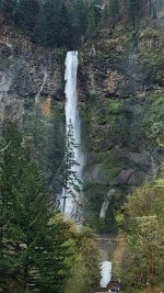
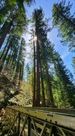
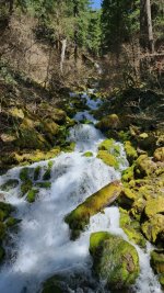
First stop was the cheerful sounding Starvation Creek Trailhead before lunch in Hood River. We've talked about checking it out for years but, HOLY CRAP, was it worth it. There's a jaw-dropping waterfall a few hundred yards from the parking lot.
Lunch in Hood River was Grasslands BBQ truck on the waterfront with pork belly burnt ends that should be classified as a controlled substance (no joke). Perfect break before crossing the toll bridge, up to Trout Lake, and on to the sprawling metropolis of Glenwood..
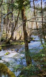
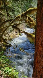
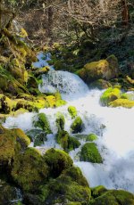
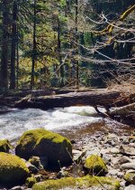
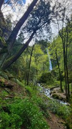
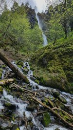
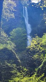
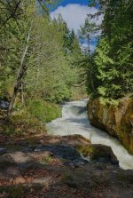
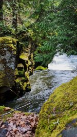
Quick stop on the White Salmon at BZ kayak launch for a short hike up to the falls:
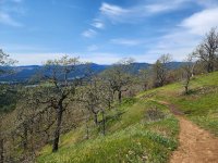
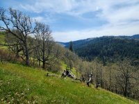
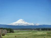
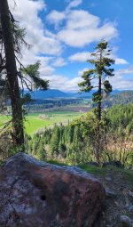
Next stop was an unmarked viewpoint on the road from Trout Lake (dumb name, there's no lake).
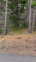
After settling in at the "glampground", we went on an exploratory (poorly planned) drive on the East side of Adams looking for a closer view of the mountain, and maybe find some morels. Failed on both counts, even though we went full BFE hitting road end at the Yakama Nation border. Thankfully the car didn't break down or we might still be up there.
Edit: Driving up this road in a 2WD vehicle, without extra food, water, wood cutting tools, and other basic survival stuff is a bad idea. At the very least, we should have let the campground staff know where we were going and that we were planning to be back before dark. This was about as remote as one can get this time of year in normal road car. I briefly considered telling my wife "BFE" really stands for Big Foot Environment, and a few other bigfoot jokes, but decided I'd like another anniversary next year.
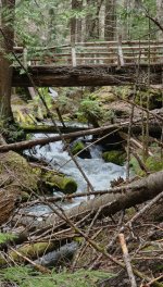
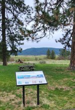
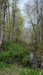
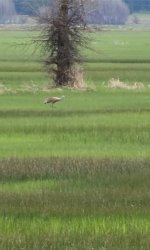
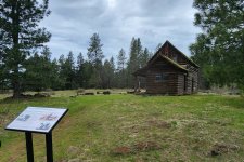
Day 2: Buck Creek Trail, and Conboy Nat'l Wildlife Refuge...
Just back from 3-nights of off-grid glamping near Mt Adams. We're definitely going back, but next time a month or so later as most of the areas above 2500' were snowed-in and/or closed. This was the first time to the area for both of us and we weren't disappointed.
The trip started with a drive up the CR Gorge. I was the passenger the whole trip, since I apparently enjoy driving my wife's Mazda 6 a little too much for her motion sickness. Just as well since that gave me the chance to enjoy the scenery and take pics. Got a couple decent car window shots before our first stop...
First stop was the cheerful sounding Starvation Creek Trailhead before lunch in Hood River. We've talked about checking it out for years but, HOLY CRAP, was it worth it. There's a jaw-dropping waterfall a few hundred yards from the parking lot.
Lunch in Hood River was Grasslands BBQ truck on the waterfront with pork belly burnt ends that should be classified as a controlled substance (no joke). Perfect break before crossing the toll bridge, up to Trout Lake, and on to the sprawling metropolis of Glenwood..
Quick stop on the White Salmon at BZ kayak launch for a short hike up to the falls:
Next stop was an unmarked viewpoint on the road from Trout Lake (dumb name, there's no lake).
After settling in at the "glampground", we went on an exploratory (poorly planned) drive on the East side of Adams looking for a closer view of the mountain, and maybe find some morels. Failed on both counts, even though we went full BFE hitting road end at the Yakama Nation border. Thankfully the car didn't break down or we might still be up there.
Edit: Driving up this road in a 2WD vehicle, without extra food, water, wood cutting tools, and other basic survival stuff is a bad idea. At the very least, we should have let the campground staff know where we were going and that we were planning to be back before dark. This was about as remote as one can get this time of year in normal road car. I briefly considered telling my wife "BFE" really stands for Big Foot Environment, and a few other bigfoot jokes, but decided I'd like another anniversary next year.
Day 2: Buck Creek Trail, and Conboy Nat'l Wildlife Refuge...
Last edited: