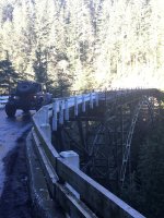
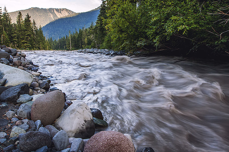
I crossed the Carbon River Bridge just a couple of months ago. There was road construction and a lot of signage at both approaches.
I also have quite a few fond memories of crossing that bridge... a mid-1970s evening float tube fly fishing trip to Coplay Lake where I lost count of the Brookies I landed. There was also Summit Lake, and XC-ski trips to Mowich Lake including leading a wonderful Mountaineers ski outing by (a full) moonlight.
Also a couple not-so-great memories. There was a rescue of a skier with a broken ankle up in Spray Park without air support requiring a very long & arduous carry-out.
While otherwise a fun trip with good longtime buddies there was also a bailout to the Carbon Ranger Station from a 2018 clockwise Northern Loop trip that began at Sunrise. We heard from other hikers of a death when a party was swept off of their feet while attemping a ford of the West Fork of the White River after the footbridge had been washed away. We were going to have to make that ford the following day.
Two backcountry travelers recently died in Mount Rainier National Park when they fell into streams swollen by runoff, prompting park staff to remind hikers that streams are running fast, full, and dangerous.

www.nationalparkstraveler.org
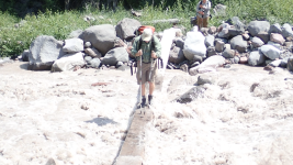
We were told about the tragedy 1 hour after a very sketchy crossing we made of Winthrop Creek that killed the other hiker a week after we did it.
The next day we made this crossing of the Carbon on this relativily luxurious footbridge instead.
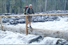
It also required an emergency call to a friend to arrange a ride from the Carbon Ranger Station back to Sunrise to get to our cars that took several hours to accomplish. We spent our last scheduled trail night & day fishing at Coplay.
Google Maps shows an alternate route to say, Mowich Lake campground, but also says road closed. So I'm hoping they find a way around using FS roads. Great hiking up there.
Find local businesses, view maps and get driving directions in Google Maps.

maps.app.goo.gl
Unfortunately there are a couple of nice homes in Upper Fairfax beyond the bridge. I got an email from WSDOT saying that the state has arranged access for property owners through land I believe is owned by private equity firm Rtc Acquisition Co LLC but is closed to Public Access.
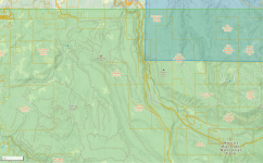
Does anyone forsee the company offering pennies on the dollar for its execs to pick up some nice vacation homes along with some now isolated smaller timber company parcels? Sounds like the classic plot for a Gene Autry movie minus the obligatory cattle drive to come up with money for the bridge repair, along with a final shootout and horse chase to defeat the scoundrels bent on stopping the effort to get access to their land back.
Not that I could do it now but losing the ability to cache supplies at Mowich is sure going to make the Wonderland Trail loop a lot harder. I wonder if MNRP will still seasonly staff Carbon River as a safety measure and if trail maintenance and rescue crews can use the restricted access?
Alas there was a $10
B budget deficit yet the 2025 budget spending will remain higher than 2024 to continue funding climate goals, social services, health care, and schools. Besides big tax increases
Washington's House passes significant taxes, including a new Tesla tax, sparking debate among lawmakers and businesses.

mynorthwest.com
cuts will surely be made that affect recreation; fishing, hunting, hiking, boating... and other things that has made the NW a great place for outdoors enthusiasts

.