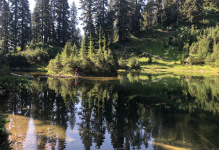
I had wanted to get out with Dave for some time, and was really excited about this trip. We had the potential to string together four lakes, and my expectations for a near-epic fishing day were high. I knew the first lake we visited was less than an hour's slogging up trail and held fish, so the day started pleasantly.
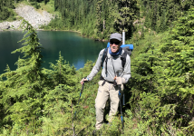
The map showed what seemed like a fairly easy route to our second, off trail lake; a mere half mile of steep sidehilling would put us in the lake basin from which we could zig-zag down to the smaller pothole below. It's still early in the day, and Dave still has a big smile as we ascended some reasonable rock slides.
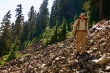
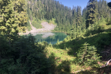
I seem to need constant reminding not to underestimate the difficulty of managing steep subalpine westslope terrain, and just getting to this second lake took a disconcerting amount of Tarzan traversing through Huckleberry, Alder, dense Fir, and Mountain Ash with detours up and down to avoid cliffy terrain. It took a full hour to cover that half mile, but the lake looked promising with plenty of depth, structure , and an abundance of insect activity.
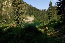
We were surprised not to see any rises (possibly one small fish in shallow?) but rigged and launched. It was a lovely lake, pleasant temps, light breeze; even the mosquitos weren't bad.
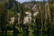
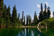
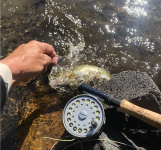
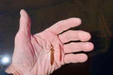
There should have been fish everywhere. We saw big Caddis scooting all around, Callebaetis hatching, midge shucks, this big Dragonfly casing, and even a Bumblebee drifting on the surface. But nothing eating?
After an hour so we decided to pack it up and try the next lake. I made the strategic mistake of planning to refill my water at our next stop and later regretted the decision. Not surprisingly, yarding our way back out of the basin was considerably harder than the mostly downhill trek in. By the time we'd managed that and crossed a few more steep rockslides, we'd had our fill of brush thrashing, and Dave's smile was loosing some if its sparkle.
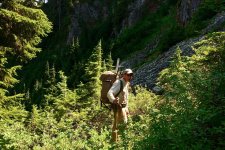
By now, it was clear that getting to that next pothole wouldn't be TOO bad, but that our original intention of dropping from there down to the fourth lake and out was a no-go. Those contour lines spelled trouble! OK, easy enough, we go back to the first lake, pound trail out and maybe hit that last lake from below.
We should have done just that, but along the way got suckered into trying one more straight shot out, slithered down an ever-steepening drainage, and eventually hit impassibly steep dropoffs. Now the suffering really began. We were hot, tired, thirsty and a bit let-down; and now resigned to a steep uphill traverse back to the trail. Occasional brief open spots and log walkways were a welcome break, but for the most part it was a strenuous uphill battle, clinging to the dense undergrowth for traction the entire way.
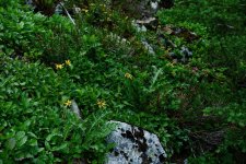
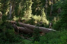
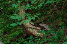
We saw quite a bit of bear sign along the way, and my wife had observed a large black specimen in the meadows above just a few weeks prior. There were a number of trees peeled of bark. This was in dense, difficult, steep forest though I suppose if you're a bear it would seem like no big deal.
All in all it was a really difficult day. We probably covered less than five miles, and didn't even do much elevation, but the off trail portion was quite physically and mentally demanding. We were both quite whupped, and maybe
now I'd learn better avoidance skills. Of course, I'm already looking over the map again and thinking of how I'd do it differently next time, and wondering where all those hundreds of planted fish are. Maybe it's a Chironomid and bobber game?